SOCIAL NETWORKS
Do you follow us on socials?
Every day we inspire our companions to new adventures, exciting new offers. Select your favorite network and click on the icon
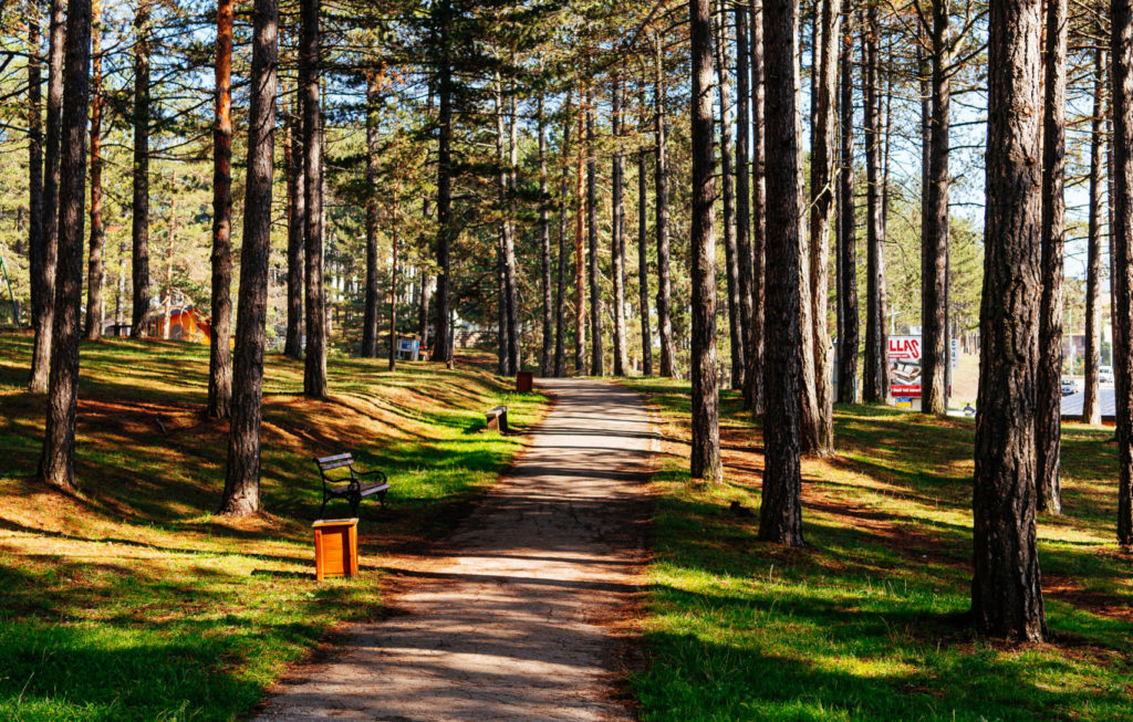
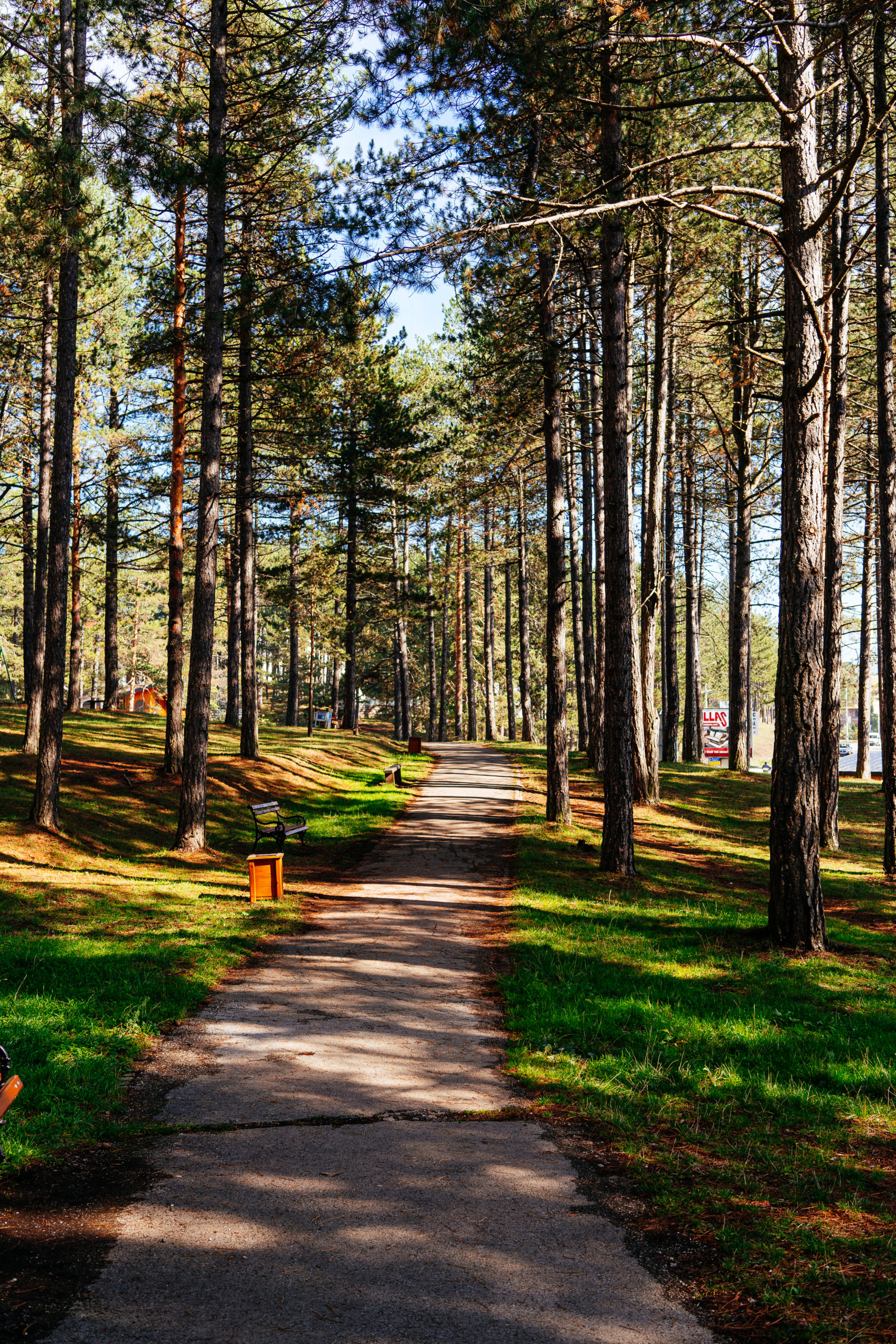
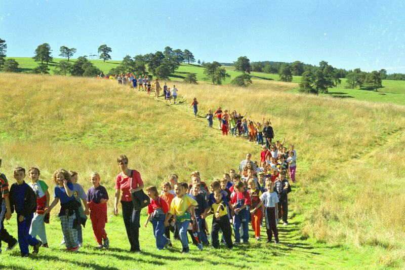
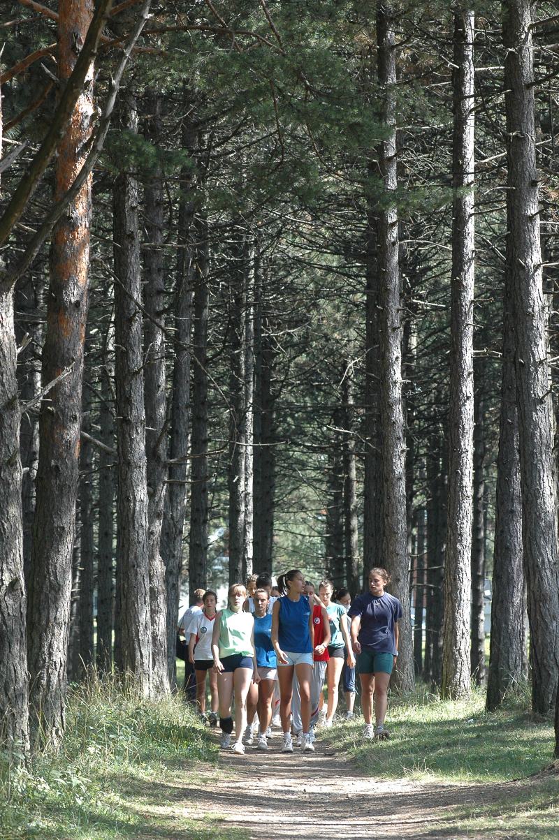
What Zlatibor is famous for and what the majority of guests enjoy the most are walking trails all around the mountain.
Walking is one of the rare physical activities that can be performed by anyone. Its benefits can be experienced by every child and adult alike no matter what their fitness level is.
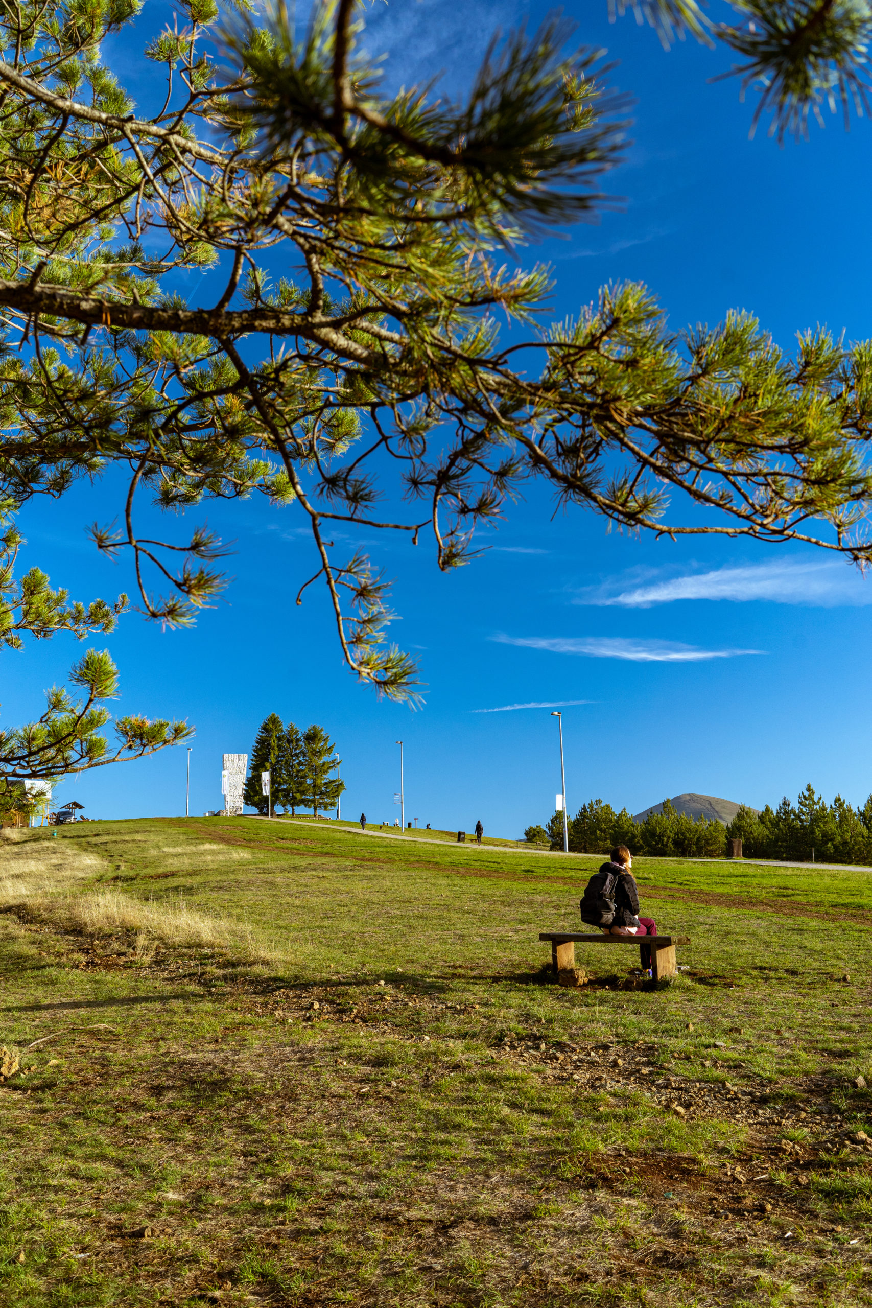
Numerous trails and pathways across meadows and through the woods are suitable for different intensity hikes. The most popular path is first and foremost the one heading from the center to the monument on Šumatno Brdo.
KAMALJ PATH
Kamalj is an easy path for beginners. It is ideal for adjusting your body to the mountain crisp air.
The trail has almost no ups and downs, and it doesn’t affect blood pressure, being suitable for people who are recovering from illness and injury.
It starts near the Čigota Institute.
General characteristics
Length and duration: It takes about 25 minutes to walk the path both ways. It’s 1,600 meters long.
Surface: Natural pathway/dirt road.
MONUMENT TRAIL
This is the typical trail that goes up and down and goes to the viewpoint with the panorama of Zlatibor mild hills. The elevation rise is 10 to 20 percent.
It is intended for a moderate-intensity physical fitness population.
It starts near the Čigota Institute.
General characteristics
As the elevation rises it is recommended to climb in a zigzag pattern. Pathways through the woods can be used for descending.
Length and duration: The total length of the track in both directions is 3 km with the elevation difference of 90 meters.
Surface: Natural path.
“JEDINI BOR” TRAIL
This health trail called the Only Pine Tree (Jedini Bor) can be crossed in an hour of a brisk walk. If measured in both directions, the pathway is 7.3 km long.
It is intended for the population of moderate and high-intensity fitness levels.
The route starts near the Čigota Institute.
General characteristics
The zigzag climb is recommended given the elevation rise. Pathways through the forest are perfect for descending.
Length and duration: The average elevation rise is about 27 percent with an elevation difference of 107 meters. The total length of the path is 7.3 km in both directions.
Surface: Natural path.
ČIGOTA TRAIL
This trail is a real challenge. It takes us to the Čigota top with the stunning view of mountains of Maljen, Povlen, Ovčar, and Kablar.
It is intended for experienced hikers, athletes, and the overall population in good physical shape.
General characteristics
Length and duration: It takes about 3 hours to cover the track. Its length is 11,2 kilometers in both ways. The starting point is near the Čigota Institute.
Surface: Well-formed natural path.